Gulf of

Gulf of
Mottama

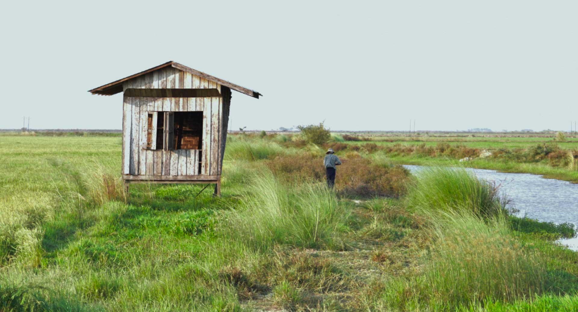
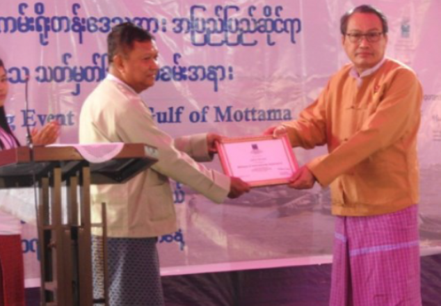
The Gulf of Mottama (GoM) is one of the most important and unique intertidal wetland systems in the world. For major rivers follow toward the gulf and highly deposit sediment to supplement the agriculture and food for marine life and other aqua species. Because of this, it was declared a Ramsar site in 2017. The Gulf of Mottama is rich in biodiversity and natural habitats. a home to important species of conservation concern, commercially important fisheries, and communities that rely on its natural resources. These resources and livelihoods face many threats in recent years. Fish stocks are dramatically declined due to massive illegal fishing and the use of small mash net size.

Migratory shorebirds are still in a great risk because of bird hunting and habitat degradation. Livelihood opportunities and access to services are limited for communities. Serious erosion is continually happening in some area of both side of the riverbanks and destroying agricultural lands and displacing communities. To protect the GoM’s natural resources and the well-being of its local communities, the short-term and long-term management plan and policy guidance are important to develop and adopted by the government and all key stakeholders including communities. At the same time, the mechanism of natural resource governance system should be established and implemented by independent management body.
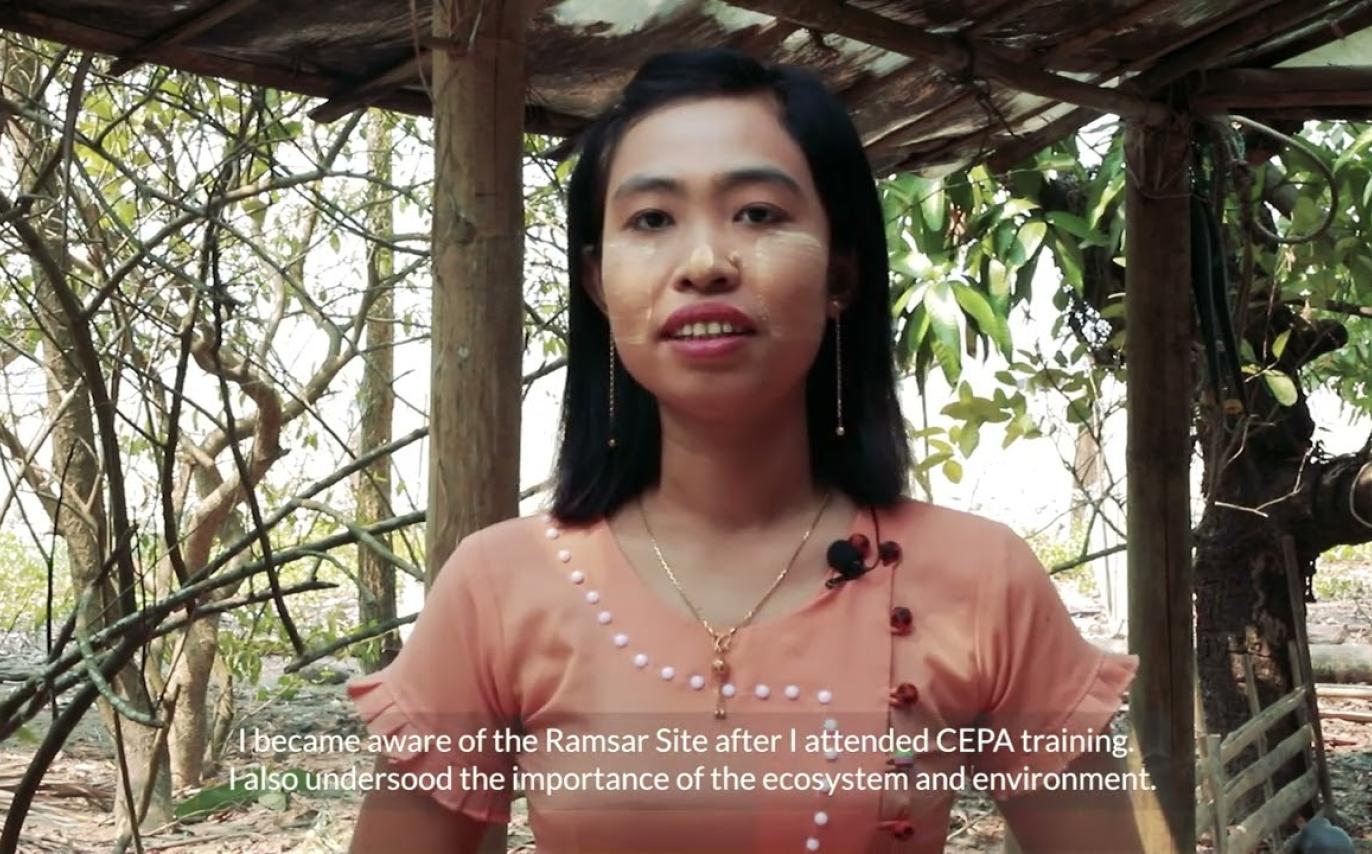
Embedded thumbnail for CEPA Awareness

This video is about CEPA awareness to improve community knowledge and practices on the overexploitation of coastal natural resources, biodiversity conservation, and ecosystem services. The Gulf of Mottama became the fourth Ramsar site in Myanmar in 2017.

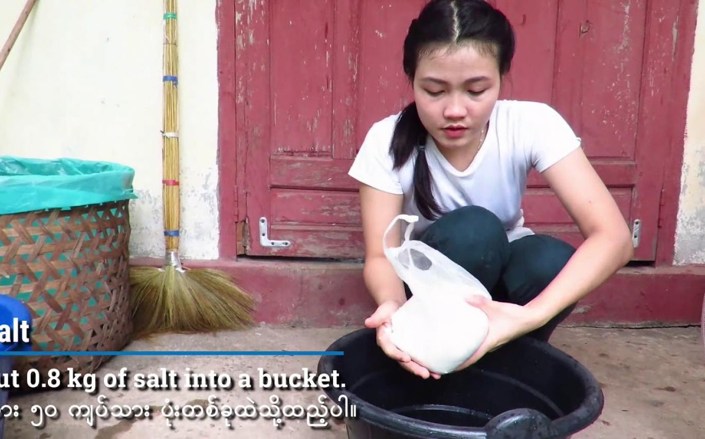
Embedded thumbnail for International Handwashing Day 2020

Today is International Hand Washing Day. Therefore, Wide Horizons students would like to share this video showing how to make home-made soap and the seven steps of handwashing. Supported by the Gulf of Mottama Project.

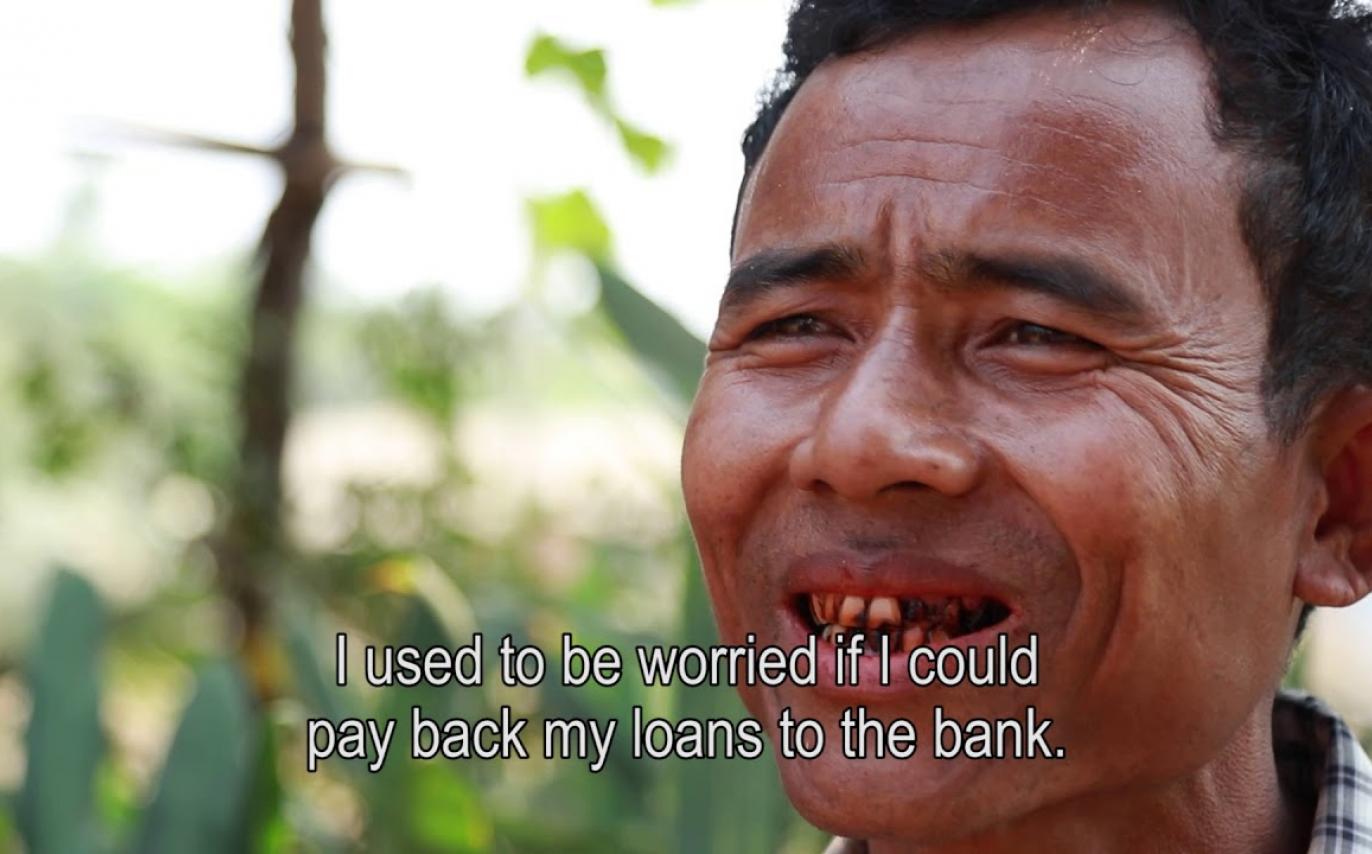
Embedded thumbnail for THE MAGIC OF SEED BANKS

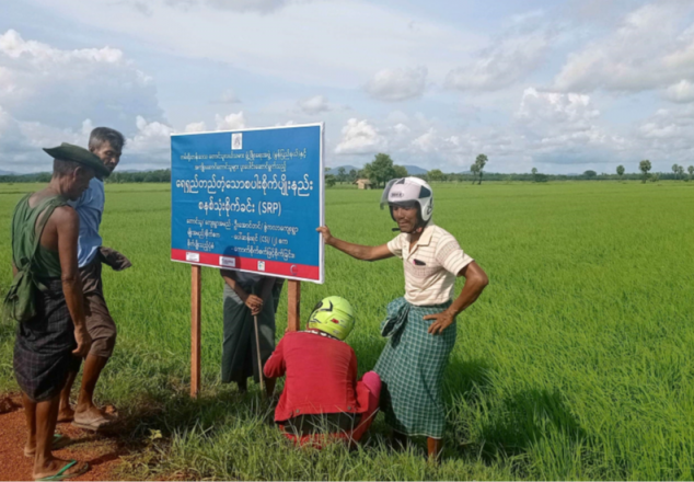
“THE MAGIC OF SEED BANK” is a video documentary of a success story from the Gulf of Mottama Project by the agriculture sector. During the five years of project implementation, GoMP has supported 36 seed banks in 52 villages benefitting 2,500 farmers. In the process, the project organized...

2 Jul 2021
| News
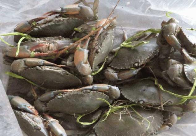
Background Fishermen who catch mud crabs are catching crabs in a variety of ways mainly using crab traps or crab hook. In comparison to data
5 Mar 2021
| News
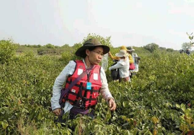
This story started at the beginning of 2017 when villages started to plant some mangroves in one small area near the coast of Thaton township in a
11 Jan 2021
In the past according to U Mg Taung, current chairman of Local Conservation Group – LCG, there is no conservation group to protect critical species
15 Oct 2020
Myanmar has a rich and diverse coastline, a fertile coastal plain, productive offshore waters and a tropical climate which provides a strong basis
15 Aug 2020
The Gulf of Mottama Project has supported a seed bank system in the project villages to improve crop yields and product quality and increase family
20 Apr 2020
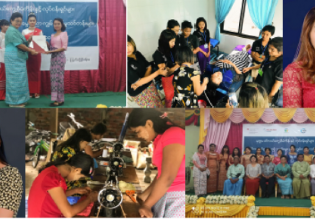
During the second phase of implementation, the GoMP started “Skills Development for Employment” (S4E) Activities with the aim to improve

Ramsar Site

Ramsar Site

Bilin’s Ecosystem Management Unit

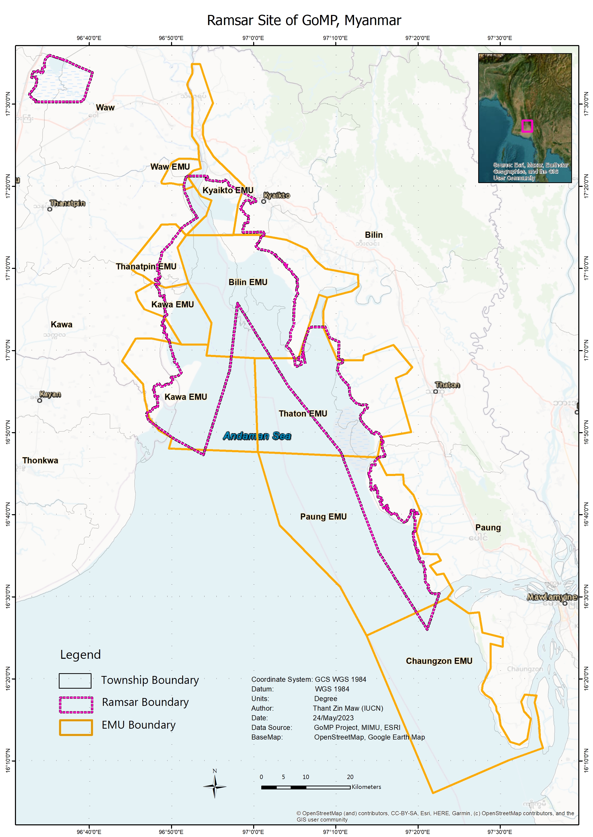
Bilin’s EMU is located in the west of Bilin Township and comprised eight villages along the coastal area. The approximation of EMU boundary covered with a mix area of agricultural lands, mangrove forests, mudflats, and waterbodies. Fisher Development Association (FDA-Bilin) and Coastal Area Farmer Development Association (CFDA-Bilin) are local institutions that actively working on the area of biodiversity conservation, mangrove restoration, community awareness on fish captures, agriculture, and other livelihood opportunities for the coastal community in the area.

Village Inside Bilin’s EMU Bounday

  • Mutin Village
  • Zawe Ka Lar Village
  • Pauk Taw Villave
  • Kan Yawe Village
  • Yawe Tan Shey Village
  • Shan Chaung Village
  • Aung Phay Village
  • Kwun Thar Yar Village

Key Features

-

More information about Bilin’s EMU


Chaungzon’s Ecosystem Management Units

Chaungzon’s EMU is located in the west of Chaungzon Township and comprised three villages along the coastal area. The approximation of EMU boundary covered with a mix area of agricultural lands, mangrove forests, mudflats, and waterbodies. According to research conducted by the Gulf of Mottama Project, marine mammal species can be found in this EMU’s boundary.

Villages Within EMU Boundary

  • Salpalar Village
  • Tawkamar Village
  • Zekone Village

Key Features

Chaungzon’s EMU contains huge areas of mangrove forest along the coastline of Salpalar Village and Tawkamar Village. Zekone Village is well-known with beach, and it is potential for local tourist. Most of the communities in these villages are relied on fishery for their incomes. Dry shrimp and Bombay duck are their main products and domestically distribute to local markets including Yangon and international market especially Thailand.

More information about Chaungzon’s EMU


Paung’s Ecosystem Management Units

Paung’s EMU is located in the south-west of Paung Township and comprised eight villages along the coastal area. The approximation of EMU boundary covered with a mix area of agricultural lands, mangrove forests, mudflats, and waterbodies. Paung Local Conservation Group and Fisher Development Association (FDA-Paung) and Coastal Area Farmer Development Association (CFDA-Paung) are local institutions that actively working on the area of biodiversity conservation, community awareness on fish captures, agriculture, and other livelihood opportunities for coastal community in the area. These institutions work together in restoration of mangrove forest as it was annually affected by coastal erosion and flooding.

Village Within EMU Boundary

  • Hlat Taung Village
  • Hlat Nauk Village
  • Khin Than Villave
  • Zekone Village
  • Baing Laung Village
  • Kar Tae Village
  • Sae Aeing Su Village
  • Wae Patan Village

Key Features

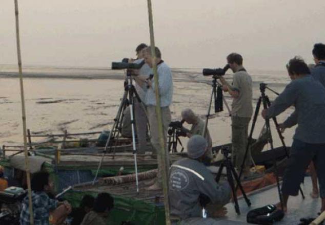
Paung’s EMU contains huge areas of mangrove forest along the coastline of Kar Tae Village, Wae Patan, and Halat Nauk Village. The recently planted mangrove forest can be found in Khin Ten Village. The Community Mangrove Nursery Farm is run by the community and produces over 30000 nursery plants each year. Bird watching is another key feature of Paung’s EMU, especially in Halat Nauk Village. A large flock of shorebird species are able to find in the mudflat area during the low tide.

More information about Paung’s EMU


Thaton’s Ecosystem Management Units

Thaton’s EMU is located in the west of Paung Township and comprised five villages along the coastal area. The approximation of EMU boundary covered with a mix area of agricultural lands, mangrove forests, mudflats, and waterbodies. Fisher Development Association (FDA-Thaton) and Coastal Area Farmer Development Association (CFDA-Thaton) are local institutions that actively working on the area of biodiversity conservation, mangrove restoration, community awareness on fish captures, agriculture, and other livelihood opportunities for the coastal community in the area.

Village Inside Thaton’s EMU

  • Htain Pin Village
  • Aung Kan Thar Village
  • Thone Eain Su Village
  • Zike Ka Yae Village
  • Gyo Phyu Kone Village

Key Features of Thaton’s EMU

Thaton’s EMU contains a huge area of mangrove plantations on the Mud Crab Island near Aung Kan Thar Village and preservation of mangrove forest in Gyo Phyu Kone Village. Thaton’s EMU is part of Thaton’s Fishery Management Zone which was established by the Mon State Government in 2017. Mud Crab Island, formally known as Mud Crab Conservation Zone is also one of the conservation zones that was recognized by Mon State Government. However, this conservation zone is still under over exploitation of catching undersize mud crabs and lack of long-term policy and strategy framework by the local authority and state government. Currently, the substantial mudflat area bordering the mud crab conservation zone has been converted into agriculture land.

Since 2017, with the support from the Gulf of Mottama Project, the community started to plant mangroves on the mud crab island near Aung Kan Thar Village. In the following years, World View International Foundation started a new project to plan mangrove forest mud crab conservation zone and now more then three hundred thousands plants with variable species were planted.

More information about Thaton’s EMU


Kawa’s Ecosystem Management Units

Kawa’s EMU was established on February 17, 2023, after consultation with village development committees from the local communities and respective stakeholders from the township-level Fisher Development Association (FDA-Kawa), and the Coastal Area Farmer Development Association (CFDA-Kawa) and Local Conservation Group (LCG-Kawa). Paung’s EMU boundary covered about 2,000 ha with a mix of agricultural lands, mangrove forests, mudflats, and waterbodies with fishing grounds.


Village Inside Kawa’s EMU

  • Hlat Taung Village
  • Hlat Nauk Village
  • Khin Than Villave
  • Zekone Village
  • Baing Laung Village
  • Kar Tae Village
  • Sae Aeing Su Village
  • Wae Patan Village

More information about Kawa’s EMU