Paung’s EMU is located in the south-west of Paung Township and comprised eight villages along the coastal area. The approximation of EMU boundary covered with a mix area of agricultural lands, mangrove forests, mudflats, and waterbodies. Paung Local Conservation Group and Fisher Development Association (FDA-Paung) and Coastal Area Farmer Development Association (CFDA-Paung) are local institutions that actively working on the area of biodiversity conservation, community awareness on fish captures, agriculture, and other livelihood opportunities for coastal community in the area. These institutions work together in restoration of mangrove forest as it was annually affected by coastal erosion and flooding.
Village Within EMU Boundary
- Hlat Taung Village
-
Hlat Nauk Village
- Khin Than Villave
- Zekone Village
- Baing Laung Village
- Kar Tae Village
- Sae Aeing Su Village
- Wae Patan Village
Key Features
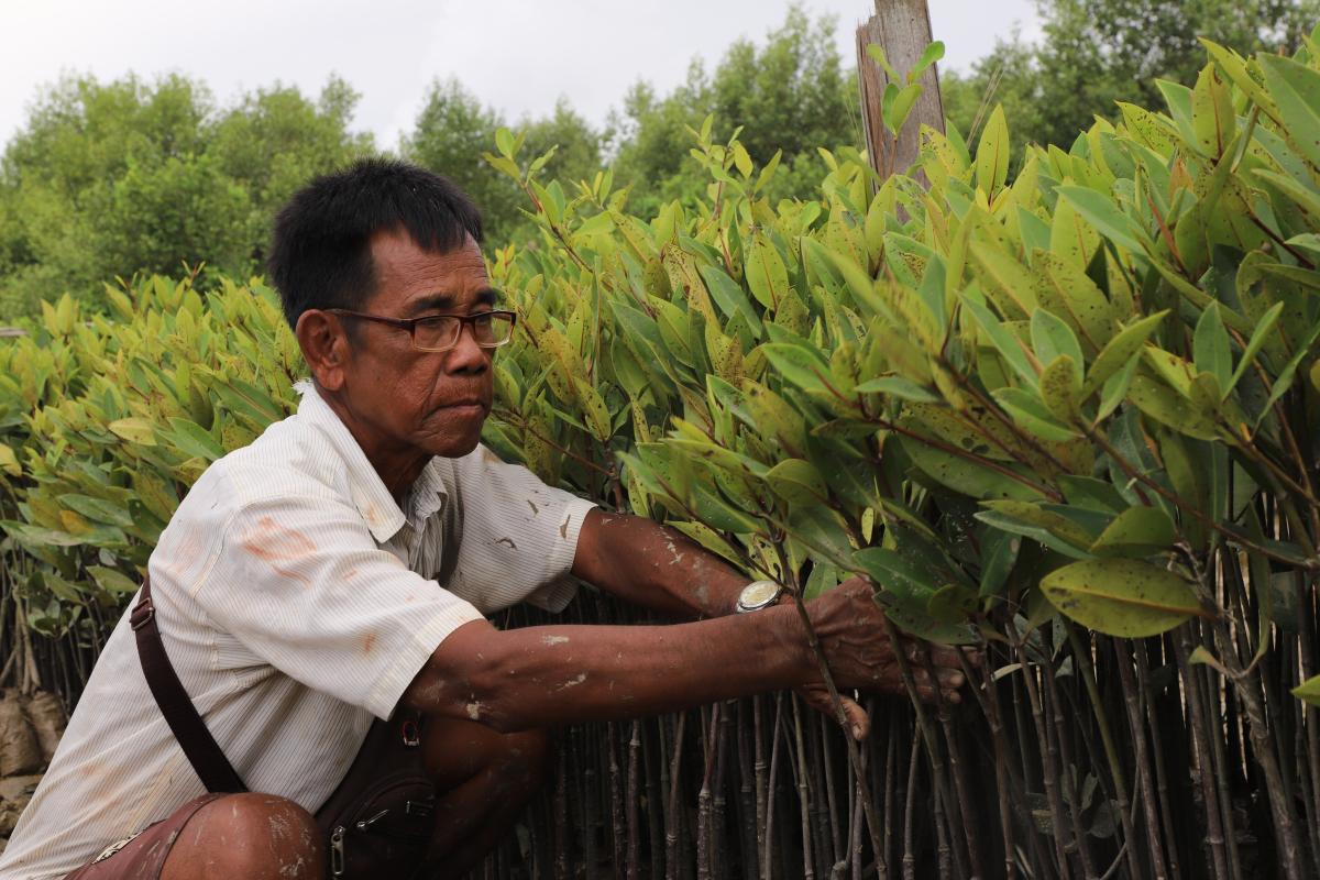
Paung’s EMU contains huge areas of mangrove forest along the coastline of Kar Tae Village, Wae Patan, and Halat Nauk Village. The recently planted mangrove forest can be found in Khin Ten Village. The Community Mangrove Nursery Farm is run by the community and produces over 30000 nursery plants each year. Bird watching is another key feature of Paung’s EMU, especially in Halat Nauk Village. A large flock of shorebird species are able to find in the mudflat area during the low tide.
img_1076.jpg

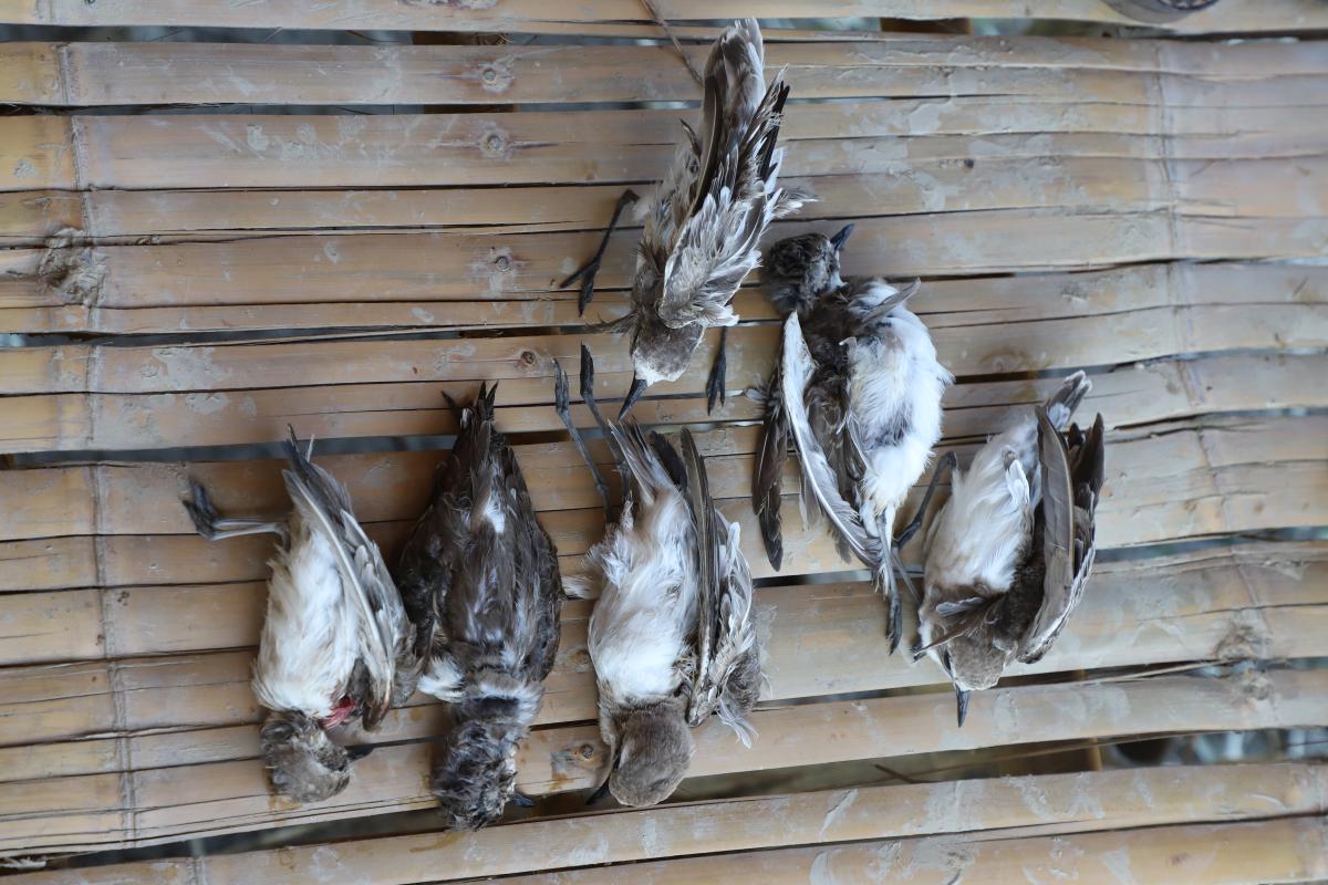
Bird Hunting in Paung EMU Area
img_7154.jpg

Paung’s EMU is located in the south-west of Paung Township and comprised eight villages along the coastal area. The approximation of EMU boundary covered with a mix area of agricultural lands, mangrove forests, mudflats, and waterbodies. Paung Local Conservation Group and Fisher Development Association (FDA-Paung) and Coastal Area Farmer Development Association (CFDA-Paung) are local institutions that actively working on the area of biodiversity conservation, community awareness on fish captures, agriculture, and other livelihood opportunities for coastal community in the area. These institutions work together in restoration of mangrove forest as it was annually affected by coastal erosion and flooding. These institutions work together in restoration of mangrove forest as it was annually affected by coastal erosion and flooding.
