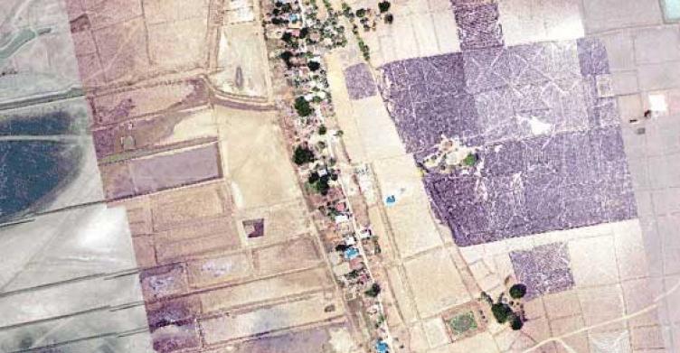
Why do we need maps to conserve natural resources in the Gulf of Mottama? Who are the main users of these maps? What types of information are we expecting to receive from the mapping process? Many questions and discussion points were raised during the Stakeholders Consultation Meeting on Natural Resources Mapping.
The meeting was organized by Gulf of Mottama Project and brought dozens of representatives from key departments of the Mon State Government, such as the Forest Department, Department of Fishery, Environmental Conservation Department and academia from Mawlamyine University. Some Geographic Information System (GIS) specialists from partner organizations such as One Map Myanmar, Worldview International Foundation and Network Activities Group also joined the meeting.
Current Government Practices on Resource Allocation
U Tun Htay, Minister of Agriculture, Livestock and Transportation, briefly stated in his keynote speech that Gulf of Mottama is a vast area and full of challenges around natural resource management. The mudflats ecosystems are always changing. Every year, land is being eroded and new sandbars are being developed. In its current stage, no comprehensive maps are available, which makes it difficult for the government to make decision on allocating resources.
Now, the Mon State Government is having challenges with virgin fallow land in the GoM, which creates conflicts among the farmers, fishers, and environment conservation groups. He further explained that some villages requested the state government to grant permission for a community-based crab protected area and man- grove plantation in the Thaton co-management zone. At the same time, local farmers would like to use these lands for agriculture. Due to insufficient information validation on these lands, the government is facing difficulties in solving these challenges.
Coastal Natural Resource Management Plan
In 2016, GoMP in collaboration with Mon State and Bago Regional Government initiated the process of developing the Coastal Natural Resource Management Plan. Since the Management Plan was already endorsed by both governments, it became a reference document in coastal natural resource management of the GoM.
However, the management plan can not be operational without useful resource maps. To further develop action plans for state or regional-based coastal resource management, both the Management Plan and Resource Maps have to be used together. Availability of resource maps at the community level will also help communities manage their own resources for sustainable use.
What type of Maps will be produced?
The Gulf of Mottama Project aims to produce different types of maps on the following topics.
- Map of Natural resource co-management zones
- Conservation Hot Spots Map
- Proposed Zoning Map by community for mangrove and crab conservation
- Project activities map
These maps will assist further development not only for coastal natural resource management but also for natural disaster protection and environment conservation in the Gulf.
Who are the main users?
In 2016, the Myanmar government formed the Union-Level Coastal Resource Management Committee, chaired by Vice President U Myint Shwe. As part of this formation process, Chief Ministers of States and Regional Governments have been instructed to form their own State- and Regional-based CRMC and assigned Ministry of Natural Resource and Environment Conservation Committee (MoNREC) as the key ministry.
The current mapping process aims to assist the CRMC of Mon State and Bago Region to obtain information to assist their decision making and future plans for rural development in the coastal communities.