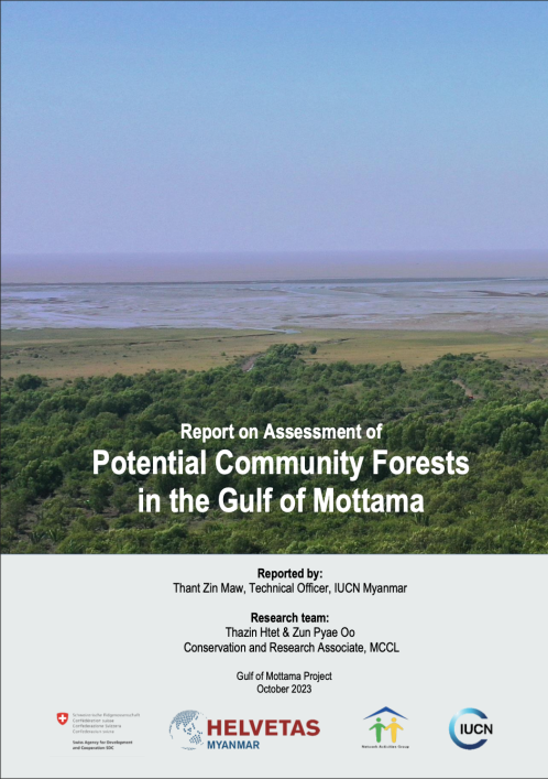
The Gulf of Mottama (GoM) is one of the world`s most important and distinctive intertidal wetland systems and is also characterized by sediment redistribution, erosion, and accretion on a large scale. To safeguard the GoM’s natural resources and the well-being of its local communities, management needs to focus on ecosystems, livelihoods, and governance. This presents a remarkable opportunity to develop effective natural resource management for the Gulf. Of different natural resources, mangroves play an important role in alleviating the adaptability of communities for climate change and disasters. Recognizing the paramount functions of mangroves, the Gulf of Mottama Project (GoMP) is supporting establishment of Community Forests (CFs) with active participation of communities not only to protect the ecosystems in the Gulf but also to adapt for the coastal communities to the changing climate.
This study assesses potential CF sites in the GoM by integrating various methods such as analysis of satellite images using Remote Sensing and Geographic Information System (RS/GIS) technique, Focus Group Discussion (FGD), field assessment and secondary information. The study area is huge covering three townships (Kawa, Thanatpin and Waw) in Bago Region and five townships (Paung, Chaungzon, Thaton, Bilin and Kyaikhto) in Mon State. Hence, we identified the potential areas for community forest establishment using such criteria as: (i) Presence of natural/planted mangroves or mudflats; (ii) Security conditions of the site for operating the process; (iii) Social potential in terms of wiliness, leadership and cohesion; and (iv) Ecological/economic benefits to the communities.
We identified 17 potential CF sites with a total estimated area of 8,540 acres (3,457 hectares) in seven townships, except Waw, of the GoM with field assessment and FGD with communities wherever possible. The initiation of CF establishment is facing with the various difficulties and challenges for the communities involved. Among others, agricultural expansion is the main threat to the natural mangroves and new mudflat areas along the coastline. Furthermore, villagers have limited time and knowledge to actively participate in CF establishment and operations because they are struggling with their livelihood and economic hardships, time allocation for both consultation meeting and site visits, and faced very limited accessibility during the rainy season. On Bago side, the potential sites are far from villages and less accessible to conduct regular monitoring within a limited time.
Our foremost focus should be initiating community consultations, selecting suitable mangrove species for a given site and fostering close collaborations with surrounding villages and relevant stakeholders towards achieving sustainable conservation goal. It is also needed to support and facilitate for the CF application process as many local communities have limited capacity in drafting application letter and formulating CF management plans. Additionally, they need seeds or seedling support and some operational costs of establishing community forests. Natural mangroves or planted mangroves of a certain age should be given priority, following by stable mudflat areas, for further process to be a certified CF provided that there are no issues related to land tenure rights and security. The conservation of mangroves, whether natural or planted, can be effectively achieved through community-led management while formalization of these mangroves as certified CF for securing land tenure may take time under the current circumstances of Myanmar.
Published By:
Published Date:
