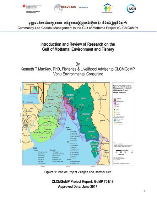
At the inception of the Community lead coastal management Gulf of Mottama Project (CLCMGoM) very little was known about the Gulf of Mottama (GoM).
Sedimentation and the Oceanographic Circulation: Ramaswamy et al (2004); and Robinson et al (2007) conclude that there is a very high turbidity due to sedimentation in the Gulf being kept In suspension by very high tides 4-7 m. Sediment from the Ayeyarwady River system also contributes due to oceanic circulation that travels from west to east across the Gulf. The turbidity front (vividly visable in the Google maps) varies from 15,000 km2 to 45,000 km2 due to changes between neap and spring tides, rather than changes in Monsoons and rain pattern. The resultant high suspension load has resulted in extensive mud flats, the 4000km2 of mud flats are some of the largest in the world. There are no published reports of the erosion in the Gulf, although there are considerable anecdotal reports of substantial erosion especially on the Western side (Bago Region).
Migratory birds: Considerably more information is available on the importance of the Gulf to migratory birds. Zochler et al (2014) summarises surveys from 2008-2013 that indicates the extensive mud flats of the Gulf of Mottama are critical wintering feeding habitat for the critically endangered Spoon Billed Sandpiper (50% of the world estimated population) and six other global threatened bird species. There have been up to 150,000 water birds reported on the mud flats.
Fisheries: There has been only one report on the fisheries in the GoM (Tin Wai et al 2014), unfortunately it was not available to the project team until May 2016. While there has been extensive research on marine ecology of Mon State through MSc and PhD thesis work at Department of Marine Science, Mawlamyine University, this has focused on the area from the Thalwin estuary at Mawlamyine and south to Thanintharyi Region, where the marine environment and fishing practices are quite different than the upper GoM. Thus there was little systematic information available on the fishery and ecology in the GoM.
The scoping missions and baseline surveys carried out during the inception phase identified villages where coastal fishing was a major activity, identified fishing gears and prepared village seasonal calendars but they were not detailed enough to give a clear indication of fishing activity. Some additional data was added during the Value Chain Survey particularly on the local market system.
Published By:
Published Date: